Extremely rare “bomb cyclone” blasts northwestern U.S. with snow, rain and heavy winds that could spur dangerous flooding
11/21/2024 / By Cassie B.

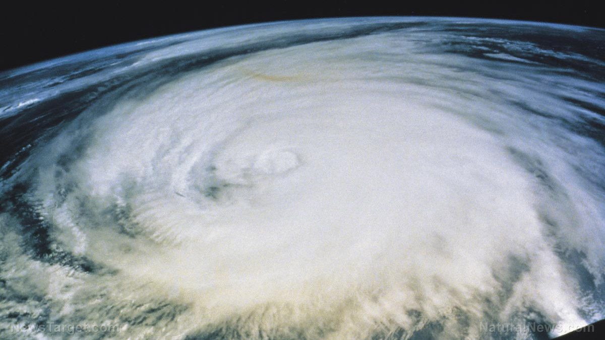
A rare “bomb cyclone” is blasting the northwestern U.S. and parts of Canada in a weather phenomenon that meteorologists say only happens around once in a decade.
Early Wednesday, the affected areas saw hurricane-force wind gusts, and thousands of people were left without power in California, Washington, and British Columbia. Washington was particularly hard hit by outages, with more than 650,000 customers there losing power.
Reports are already rolling in of damage, injuries, and death. A Seattle area woman in her 50s died after a large tree fell on a homeless encampment, while another woman died after a tree fell on her home while she was showering. At least two people had to be rescued by emergency crews after a tree fell on their trailer. Multiple fallen power lines and trees have been reported throughout the area.
According to the National Weather Service, wind gusts reached 101 miles per hour in the South Brooks buoy off the coast of British Columbia, while Washington state saw gusts of as high as 77 miles per hour in some places.
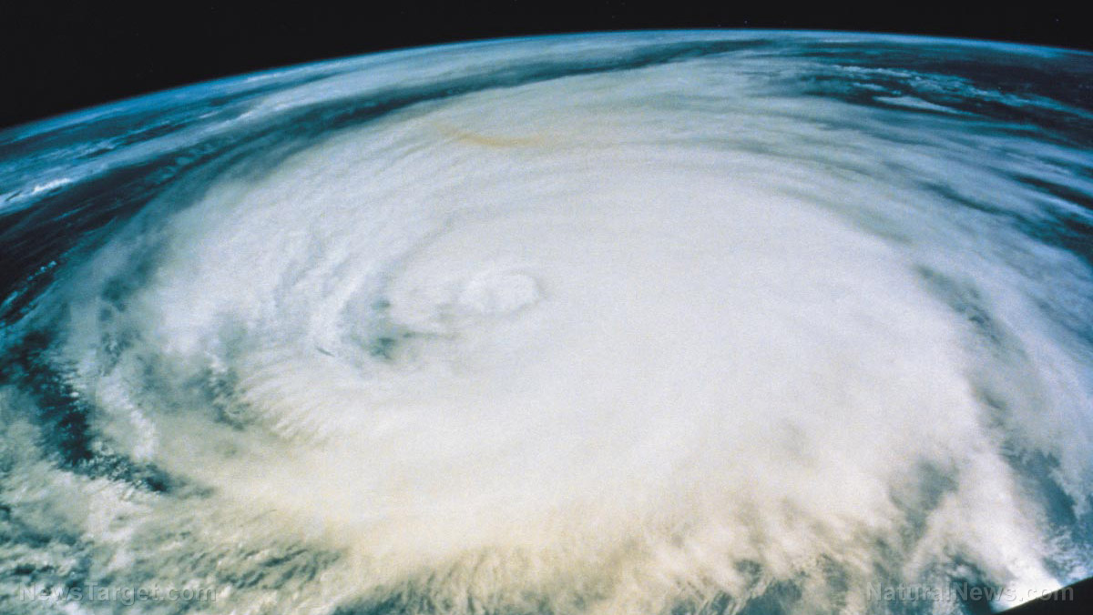
The bomb cyclone system intensified quickly in what meteorologists call “bombogenesis.” The storm is combining with an atmospheric river, which is a long line of water vapor that moves through the atmosphere much like a river would, spurring heavy rainfall and significant snowfall in mountainous areas. On Tuesday evening, it reached the very rare “triple bombogenesis” designation, which means the system is at least three times the threshold needed for it to officially be considered a bomb cyclone.
It is expected to stall along the coast and continue to pound the area with dangerous conditions well into the weekend, and it could create a month’s worth of rain and several feet of mountain snow throughout Northern California and the Pacific Northwest. Mount Shasta, for example, could see up to three feet of snow, while the Cascades and northern Sierra Nevada could see up to four feet of snow.
Climate scientist Daniel Swain said that the storm could be “one of the strongest low-pressure systems on record in the region.” In a post on X, he explained that there could be waves of up to 60 feet as a result.
Meanwhile, AccuWeather is predicting wind speeds could reach 90 miles per hour along the coast of California, putting them on par with those seen in a Category 2 hurricane, while Vancouver Island could see even stronger winds that are closer to 100 miles per hour.
Flood alerts leave affected areas on edge
With the devastation caused by Hurricane Helene that caught the East Coast off guard still fresh on everyone’s minds, many are wondering if we could see similar damage from this storm. The answer, according to numerous experts, is yes.
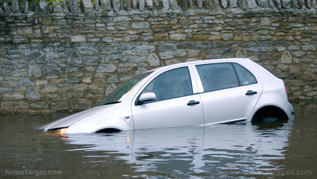
In some parts of northwestern California, 16 inches of rain or even more could fall within a 48-hour span, while the northern San Francisco Bay area is forecasted to see more than a month’s worth of rain. This is expected to lead to considerable urban flooding as well as debris flow on streets and river flooding.
The National Weather Service’s Seattle office has already warned: “Travel could be very difficult to impossible. Strong winds could cause extensive damage to trees and power lines.”
Much of the damage will depend on how long the storm system stalls and where it sits during that time. Numerous flood watches, winter weather warnings, and advisories have already been issued. Many areas are seeing a level 4 high risk of flooding, a designation that is used very rarely but accounts for more than 40% of all flood-related deaths and 80% of all flood-related damage.
Sources for this article include:
Submit a correction >>
Tagged Under:
big government, bomb cyclone, California, chaos, Climate, dangerous, disaster, Ecology, environment, Flooding, national security, panic, SHTF, storm, storm warning, weather, weather terrorism
This article may contain statements that reflect the opinion of the author
RECENT NEWS & ARTICLES
COPYRIGHT © 2017 WEATHER TERRORISM

