Hurricane Lee becomes Category 5 storm, could hit the East Coast this weekend
09/08/2023 / By Olivia Cook
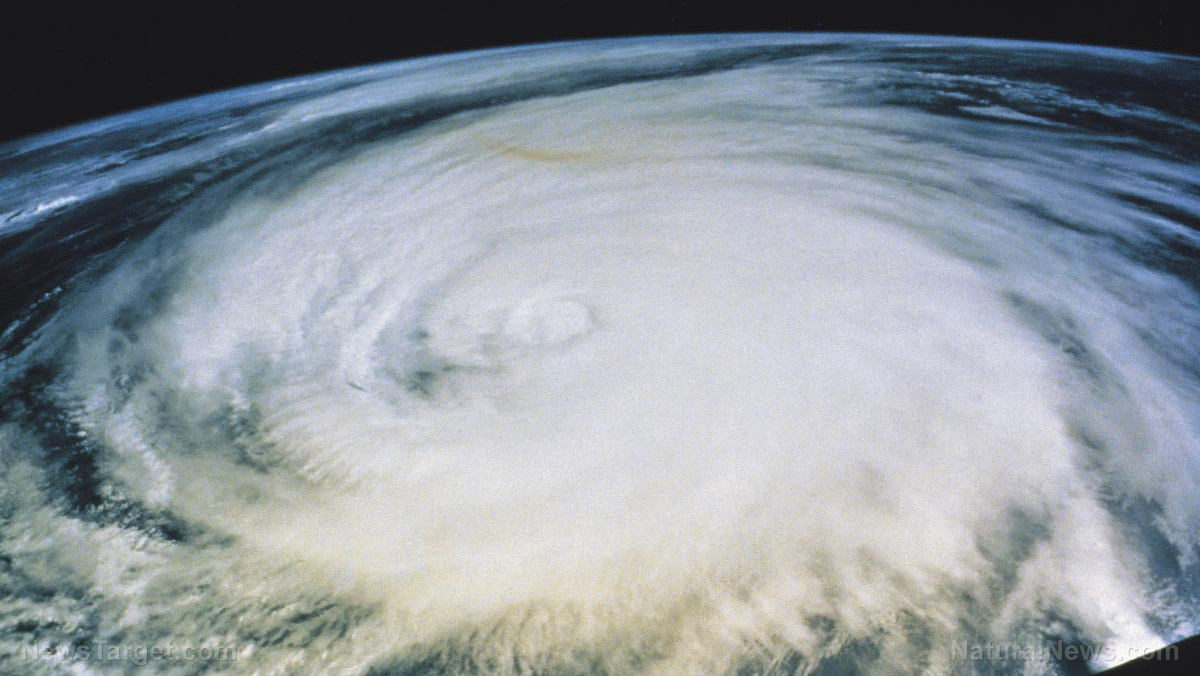
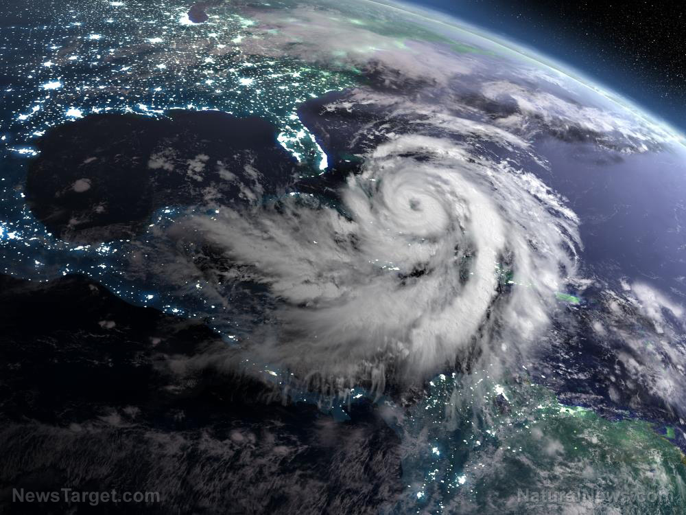
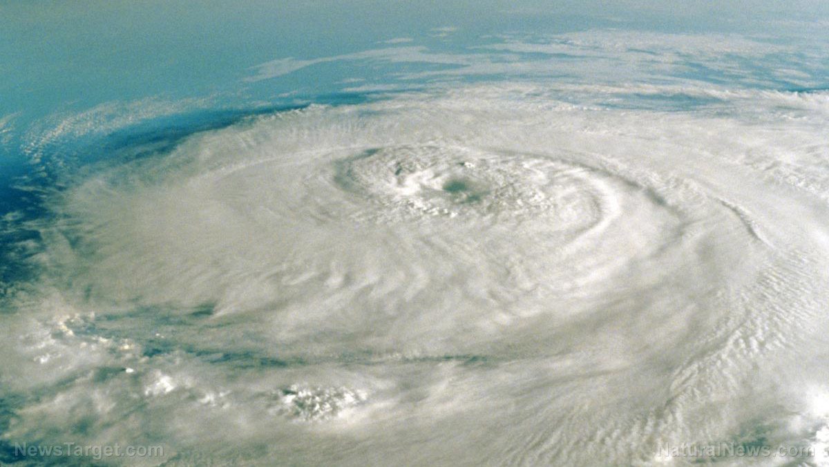
Hurricane Lee became a Category 5 storm late Thursday night, Sept. 7, and is expected to reach wind speeds of 180 mph that could present dangerous beach conditions in the East Coast as early as Sunday, Sept. 10.
The Air Force Reserve Hurricane Hunters have found that Lee has “skyrocketed to Category 5 strength,” the National Hurricane Center (NHC) said in its 11 p.m. update Thursday.
The storm is expected to toggle between Category 4 and Category 5 status over the next five days as it makes its way north and westward. (Related: Over 1,300 flights cancelled and 6,000 delayed by SEVERE THUNDERSTORMS that hit the East Coast.)
However, it is still deep over the Atlantic Ocean, and the NHC warned that it is “way too soon” to know what impact the hurricane might have on the U.S. East Coast, Bermuda or Canada.
“The hurricane is expected to slow down considerably over the southwestern Atlantic. Regardless, dangerous surf and rip currents are expected along most of the U.S. East Coast beginning Sunday,” the NHC said. There are currently no watches or warnings in effect.
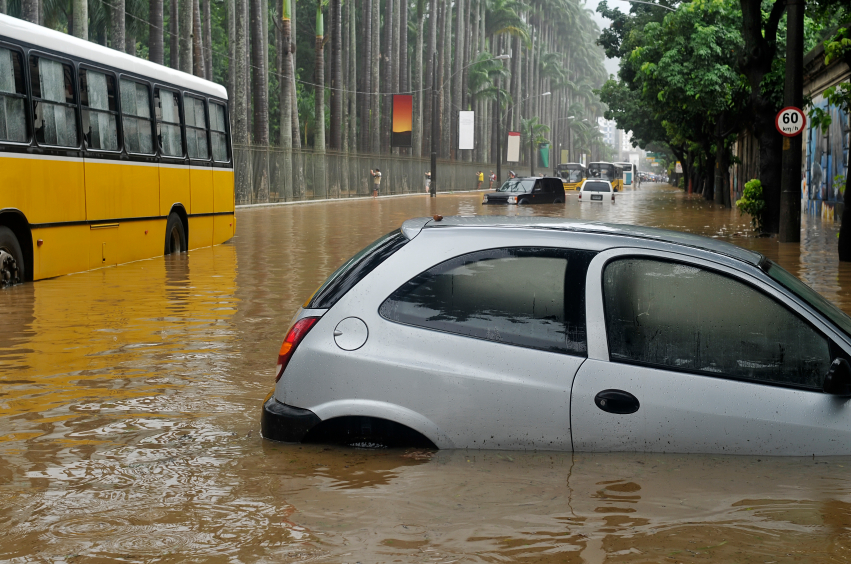
Hurricane Lee comes less than a week after Hurricane Idalia slammed much of the U.S. Southeast, damaging homes and knocking out power in Florida while flooding parts of Georgia and the Carolinas.
The NHC has repeatedly warned that Lee could become very powerful in an exceptionally short time. That guidance has now become even more dire, as the NHC said many forecasting tools “are calling for remarkable rates of intensification, beyond rates normally seen with model forecasts.”
The hurricane center currently predicts that Lee will churn north-northwest, reaching a point well north of Puerto Rico by Tuesday morning, Sept. 12.
So far, the storm isn’t posing an immediate threat to anyone on land. But experts advise keeping a close eye on the storm.
All eyes are on Lee’s path
It’s too early to say with certainty whether Lee might make landfall anywhere, or if it will spin harmlessly away from the U.S. Atlantic coast and other land masses.
Several long-range models currently have Lee eventually curving north, missing the Caribbean and remaining offshore. While models are generally accurate, they’re not perfect. In 2017, Hurricane Irma was supposed to follow a similar path – instead, it walloped Florida’s Gulf coast.
Even if Lee misses land, forecasters say swells generated by the storm “are expected to reach portions of the Lesser Antilles on Friday, Sept. 8, and the British and U.S. Virgin Islands and Puerto Rico this weekend. These swells are likely to cause life-threatening surf and rip current conditions.”
The system has been gaining power as it passes over “record-warm waters of near [86 degrees Fahrenheit] east of the Lesser Antilles,” the NHC said. It added that such warm waters are more expected in the Gulf of Mexico, not the Atlantic Ocean.
“The peak of hurricane season is September 10 so it’s an excellent time all up and down the East Coast of the United States to recheck your family’s preparedness plan and know what you might do if a storm was approaching your community,” Kelly Godsey, a senior service hydrologist and meteorologist with the National Weather Service (NWS) in Tallahassee, Florida, told Newsweek.
Tropical storm Margot
Tropical Storm Margot also formed Thursday afternoon over the eastern tropical Atlantic, with wind speeds of 40 mph and traveling west-northwest at 17 mph.
Margot was still just a depression Thursday morning but is expected to continue to strengthen as it’s forecasted to turn north into the central Atlantic Ocean.
“Gradual strengthening is expected during the next several days, and the depression is forecast to become a tropical storm later today or tonight,” said hurricane specialist David Zelinsky.
Another system a few hundred miles west-northwest of Spain is associated with the remnants of Hurricane Franklin. Forecasters said the system is not likely to develop as it heads for harsh conditions and is not currently a threat to South Florida.
Visit Disaster.news for more stories like this.
Watch the following video about West Coast tropical storm Hilary slamming Southern California.
This video is from the InfoWarsSideBand channel on Brighteon.com.
More related stories:
Biden declares state of emergency in Florida as Tropical Storm Idalia approaches.
Federal government may have “weaponized” Hurricane Ian to magnify climate change narrative.
US government has ability to manipulate hurricanes, 50-year-old documentation shows.
Sources include:
Submit a correction >>
Tagged Under:
Bermuda, Canada, East Coast, Ecology, environment, extreme weather, Florida, Hurricane Idalia, Hurricane Irma, Hurricane Lee, Hurricanes, National Hurricane Center, natural disasters, preparedness plan, Puerto Rico, severe storms, Tropical Storm Margot, weather terrorism
This article may contain statements that reflect the opinion of the author
RECENT NEWS & ARTICLES
COPYRIGHT © 2017 WEATHER TERRORISM

